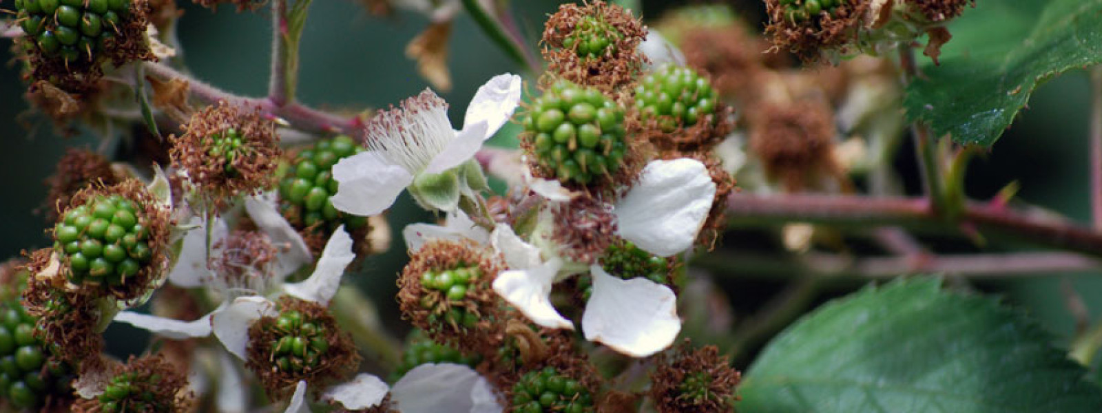
Hundreds of invasive plants are established within the 4-County CWMA region, varying in levels of invasiveness, impact, and establishment. This project focuses on our priority weed species, defined as those that are considered the most invasive but still documented in our region in very low abundances and still eradicable on a regional or local scale. Left unchecked, these species can easily cross CWMA county boundaries. The 4-County CWMA Mapping and Data Committee is responsible for compiling partner species distribution data to foster collaborative monitoring and management to maximize treatment effectiveness.
We promote a process for documenting and coordinating management of the highest priority species. This process can be expanded to cover a larger number of weeds, but we are currently targeting a restricted list of species to make our objective more strategic and achievable.
Interactive Priority Weed Management Coordination Map
Click the above image to access the Priority Weed Coordination Map (updated 9/13/22). This region-wide map is the product of a collaborative weed management effort between multiple partners.
Contribute to the 4-County CWMA ArcGIS Online (AGOL) Database:
To join and contribute to this CWMA partner-wide data project, please email the following information to Tyler Pedersen at tyler.pedersen@tualatinswcd.org and/or Eli Staggs at Eli.Staggs@tualatinswcd.org:
-
Your first and last name
-
Your ArcGIS Online username
-
Your CWMA partnering organization’s name
-
The following completed data agreement form(s):
-
Required for all users: 4-County CWMA Limited Data Use Agreement
-
For limited access to specific confidential data: 4-County CWMA Confidential Data Principles Agreement
-
We will then send you an invite to access the AGOL map! Your contact information will not be shared outside of the committee and project host.
Current Priority Weed Coordination Targets (2020):
Centaurea calcitrapa | purple starthistle |
Centaurea solstitialis | yellow starthistle |
Echium plantagineum | Paterson’s curse |
Euphorbia oblongata | oblong spurge |
Galega officinalis | goatsrue |
Hieracium pilosella | mouse-ear hawkweed |
Lepidium draba | hoary cress |
Lepidium latifolium | perennial pepperweed |
Nymphoides peltata | yellow floatingheart |
Onopordum acanthium | scotch thistle |
Pueraria montana var. lobata | kudzu |
Rhaponticum repens | Russian knapweed |
Sagittaria platyphylla | delta arrowhead |
Ulex europaeus | gorse |
Our Weed Management Coordination Process
- Select species
- Update and quality control observation data
- Update management status
- Produce/update public maps
- Identify and address gaps in management
- Repeat process, as necessary
STEP 1: Select Species
Species selected have an “A” rank with the Technical & Scientific Review Committee’s weed list, are generally documented in fewer than 10 infestations within the 4CCWMA area, and there are not significant indications that they are significantly more widespread than documentation suggests.
STEP 2: Update and quality control observation data
After selecting species, we solicit observations from all of our CWMA partners and other land managers and field staff operating within our area. Participation is tracked to facilitate region-wide participation. Contributed data is suggested to conform to our established 4-County CWMA Invasive Plant Observation Data Standards and should be submitted to iMapInvasives Oregon for Oregon observations.
We then quality control the resultant dataset. In some cases, we will need to consult with the reporter and/or perform field verification to confirm species identification or other information related to the infestation.
STEP 3: Update management status
For Oregon State county (Clackamas, Multnomah, and Washington) observations, we use the iMapInvasives Oregon platform’s infestation management functionality to track the responsible management entity as well as provide annual management status updates. This functionality basically consists of the user creating a polygon bounding a set of weed observations and then assigning a responsible entity and providing a location of additional notes and ongoing status updates. In some cases, the population will be considered eradicated and we will be tracking followup monitoring actions.
For Washington State county (Clark) observations, the Clark County Noxious Weed Control Board staff will be tracking management according to their discretion and methodology. iMapInvasives Oregon does not currently cover weed work outside Oregon State.
STEP 4: Produce/update public maps
To facilitate awareness about the known distribution of these species we will create publicly accessible maps of the documented observations. Maps can be used to help field observers determine if populations are known and for Oregon infestations if they are being managed and by whom. These maps may also help prioritize survey work. If a property being surveyed is near known infestations surveyors will hopefully be more aware of the potential for that species to be present within their survey area.
These maps will be made available on this page when completed. These will ideally be web maps.
Initial management coordination maps were developed in January 2016 to show the currently documented distributions at the beginning of this project.
STEP 5: Identify and address gaps in management
For Oregon county infestations without a documented infestation management status established, we will attempt to identify and notify CWMA partners to lead management and monitoring of these infestations and participate in management status tracking in iMapInvasives Oregon.
For Clark County infestations, the Clark County Noxious Weed Control Board staff will be tracking management of these infestations and addressing any gaps according to their discretion and methodology. iMapInvasives Oregon does not currently cover work outside Oregon.
STEP 6: Repeat process, as necessary
Project success is dependent on the level of participation by CWMA partners and will be continued and expanded based on the level of participation and success of initial efforts. Fortunately, any interruptions in this project will not result in any loss of collected data since iMap Inavisives and Clark County Noxious Weeds are well established and supported within their area of operation and are likely to continue to maintain this data.