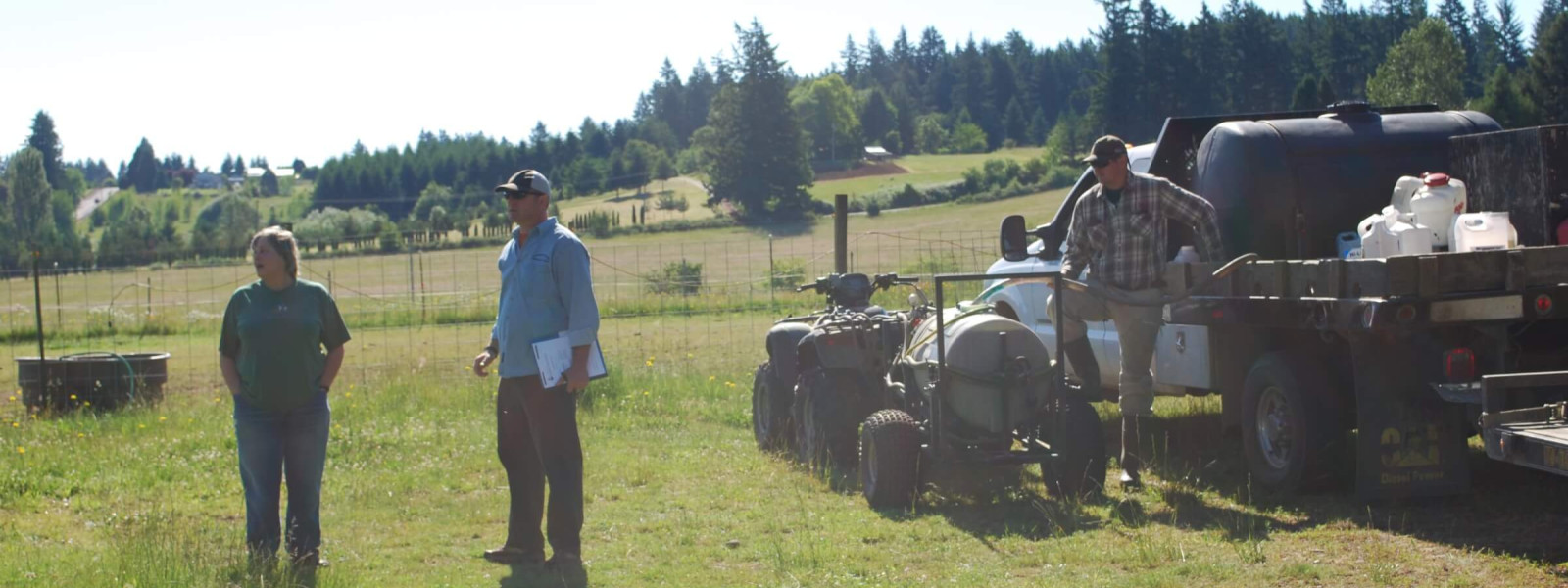
Invasive plant data collection and sharing is essential to regional weed management.
Our Mapping and Data Committee manages the Priority Weeds Map based on regional invasive species reports. Data is compiled from several reporting platforms.
A comprehensive tool for online invasive species data management.
A web-based mapping system for documenting invasive species distribution.
4-County CWMA Data Collection Template
A customizable template that allows for shared data collection.
The 4-County CWMA encourages all partners and land managers to share their data. We are committed to helping organizations contribute to this effort.
If you would like to share data or use our Data Collection Template, please contact the our Mapping and Data Committee Chair(s):

