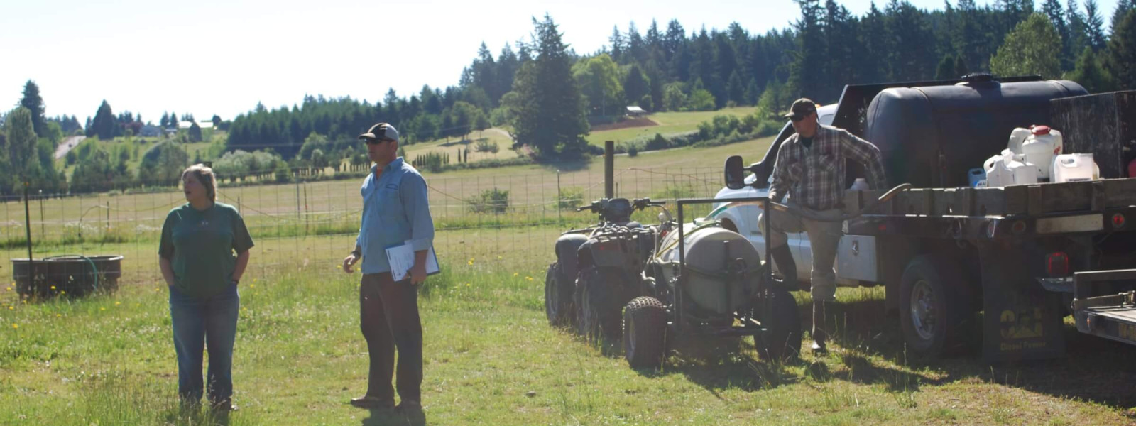
The Mapping & Data (M&D) Committee puts YOUR invasive plant inventory, survey, and treatment data to work! Our ultimate goal is to help reduce the costs and increase the effectiveness of invasive species management in our 4-County region through coordinated prioritization, analyses, implementation, and communication.
Mapping and data goes way beyond plotting weed infestation points on paper… it’s an important step for understanding the biology and impacts of invasive species in a deeper, richer way. We envision a data stewardship network made up of CWMA committees, partners, and other stakeholders, working together to provide increased access to invasive species data and maps relevant to your EDRR work.
We share information about new technologies and evolving trends in invasive species data while also promoting data standardization and the use of reliable online/mobile data collection platforms and e-mail reporting systems, such as iMapInvasives Oregon (if you’re new to this platform, we highly recommend these training videos).
We have defined goals and objectives focused on:
- Information and resource sharing
- Improving data platform(s)
- Increasing data contributions
- Promoting data quality
- Improving data access and usage
We are always encouraging partner collaboration, feedback, and idea sharing! We are actively working on the following projects:
- Priority Weed Coordination (data review, map creation, and management coordination)
- Call-for-Data Weed Species (annual project)
- Maintenance and updates to CWMA Weed List
- Promoting and refining our Data Standards
- Supporting iMapInvasives Oregon and cross-state and -county data integration
- Hosting information sharing forums for field data exchange and management (check out 2020 Mapping & Data “Poll Together” Survey Results)
We meet 4-5 times per year and maintain an email list to coordinate our activities. The email list has a message archive available for review should you desire to get up to speed on our activities.
Please join us!
If you have any questions or would like to get involved, please feel free to reach out to our Mapping & Data Committee Chairs:
Tyler Pedersen (Tualatin Soil and Water Conservation District)
Mapping & Data Committee Chair


Eli Staggs (Tualatin Soil and Water Conservation District)
Mapping & Data Committee Vice-Chair